IT is the key for more sustainability.
Digitalisation can help to consume fewer resources and emit less CO₂. There are several ways to do so.

Data form the foundation of understanding the world as it is today and shape it for tomorrow. Climate data, traffic, data, health data, economic data—it’s all measured and verified to ascertain, understand and, if possible, optimise current conditions. To make all this possible, you need sensors that collect weather data, smart metres to record energy consumption, networks to transmit all these data, plus hardware and software to process and analyse them and to create models and prognoses. This all works very well already in some areas, but in others results are still very fragmented.
Part 1: Digital twins.
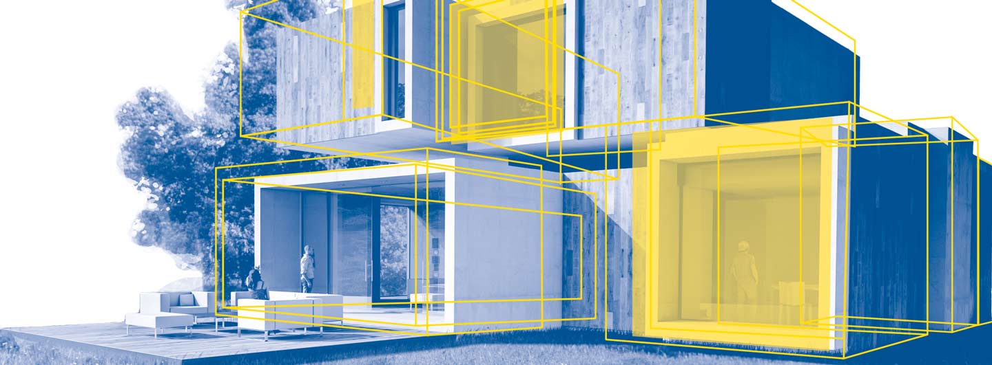
For the future, it’s all about getting hold of a lot more pieces of the puzzle and putting them together to smartly network the digital images of our real world with the idea of a ‘digital twin’ growing in importance. Product development has long since been working with virtual models and resulting prototypes, which makes the entire process much shorter. In manufacturing, production processes are continually tested and optimised with the help of simulations. Entire factories exist in parallel worlds—both in 3D programs and on greenfield sites. Construction and operative logistics aren’t forgotten in the model, either and so the principle of mirroring is attracting increasing attention.
Fresh air: Smart Cities and Smart Buildings.
Current projects are targeting the efficient energy management of smart buildings and cities with the aim of decarbonising cities. A study carried out by auditing and consulting company EY estimates that the greenhouse gas emissions of existing buildings can be reduced by 50 per cent while costs can be lowered by 35 per cent. It notes a pilot project at the Nanyang Technological University in Singapore, where the entire campus and its more than 200 buildings were digitally mapped. Within five years, energy consumption was reduced by nearly a third. The government of Singapore has now gone one step further and created a digital model of the entire city called 3DEXPERIENCity using CAD software from Dassault Systèmes that Bechtle Group customers also use to create simulations.
Clear vision: transparency and knowledge management.
Meanwhile, the United Kingdom has launched a National Digital Twin Programme to link up relevant projects and share their data. As long as there is a willingness to share data, the result is significant added value and overall impact. Transparency and knowledge management are crucial for better environmental conditions—not just in our urban areas—and in principle, that’s exactly what digital platforms could offer. Of course, new business models and businesses are on the rise such as cityzenith that describes itself as a leading ‘Urban Digital Twin Platform’ that managed to get Google Earth software architects on board.
